Advanced Land Survey Services (DGPS, Drone & Total Station)
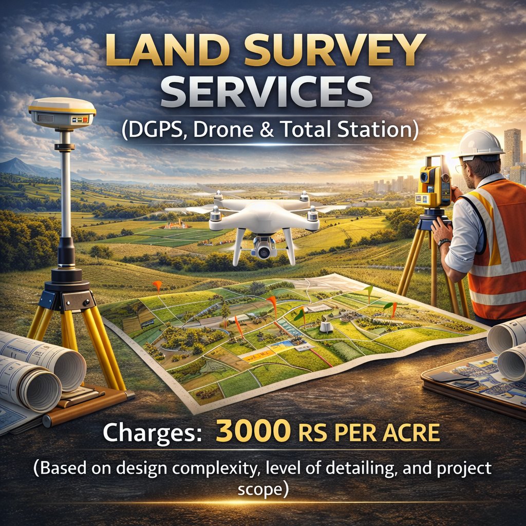
Land Survey Services (DGPS, Drone & Total Station)
Description:
We provide highly accurate land surveying and mapping services using advanced geospatial technologies. Our solutions ensure precise measurements, reliable data, and efficient planning for construction, infrastructure, and land development projects.
Pricing:
@ ₹3,000 / acre
Scope of Services:
-
Boundary demarcation & contour mapping
-
Road alignment planning & plot subdivision
-
Drone-based topographic survey & aerial mapping
-
DGPS survey for high-accuracy geolocation
-
Total Station survey for precision layout & construction execution
लैंड सर्वे सेवाएं (DGPS, Drone एवं Total Station)
विवरण:
हम आधुनिक जियोस्पेशियल तकनीकों का उपयोग करते हुए सटीक भूमि मापन एवं मैपिंग सेवाएं प्रदान करते हैं। हमारी सेवाएं निर्माण, इंफ्रास्ट्रक्चर और भूमि विकास परियोजनाओं के लिए विश्वसनीय डेटा एवं सटीक योजना सुनिश्चित करती हैं।
शुल्क:
@ ₹3,000 / एकड़
सेवाओं का दायरा:
-
सीमा निर्धारण (Boundary Demarcation) एवं कंटूर मैपिंग
-
सड़क एलाइनमेंट एवं प्लॉट सबडिवीजन
-
ड्रोन आधारित टोपोग्राफिकल सर्वे एवं एरियल मैपिंग
-
उच्च सटीकता के लिए DGPS सर्वे
-
सटीक लेआउट एवं निर्माण के लिए टोटल स्टेशन सर्वे